Project Description
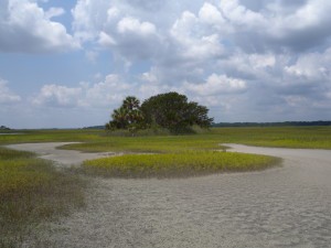
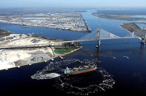
NFLT owns and manages over 1,000 acres of Big Talbot Island property which includes extensive saltwater marsh habitat and 18 dredged material spoil islands. The spoil islands lie adjacent to approximately four miles of the Intracoastal Waterway just west of Big Talbot Island and Nassau Sound, within the Timucuan Ecological and Historic Preserve and the Nassau River-St. Johns River Marshes Aquatic Preserve.
Taylor Engineering prepared a spoil island management plan that characterizes conditions of each island, identifies target habitat(s), identifies management activities for each island, and estimates costs for the management activities. It identifies state and federal permit considerations associated with the habitat management and activities. The plan also considers project prioritization and broader management issues for long-term habitat maintenance.
The plan was prepared upon completion of a desktop review of existing physical and biological information (aerial photographs, topographic maps, Florida Natural Areas Inventory [FNAI] community descriptions and listed species databases, agency reports or management plans, etc.) as well as field investigation of each island.
At each island, the field team visited areas of typical habitat signatures identified in high resolution 2013 (Florida Department of Transportation [FDOT]) aerial photographs. Within each habitat signature area, the field team walked along informal, meandering transects and recorded observations. Recorded biological data included vegetation species observed and relative abundance by stratum (groundcover, sub-canopy, and canopy), direct observations and evidence (e.g., tracks, scat, burrows, etc.) of wildlife utilization, occurrence of invasive or exotic plant species, and occurrence of state- and federally-listed plant and animal species.
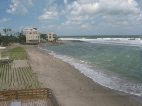
Physical parameters assessed (based on observation) include shoreline condition/erosion, site accessibility, topography, soil conditions, and anthropogenic use. The shoreline condition/erosion observations focused on slope of the intertidal zone, escarpment presence, and indications of marsh erosion. Evaluation of site access considered factors such as whether or not access required a boat, availability of a sandy shoreline for boat beaching, and whether tide cycle changes affect accessibility. On each spoil island, the field team collected one composite soil sample from the upland habitat with the exception of NFLT-1 where the sample originated from the salt flat. The quantity, type, location, and condition of observed refuse formed the basis of the anthropogenic use assessment.


